The Breck – Wallasey’s Hidden Heights
From Shore to Higher Ground
Beyond the windswept shores of New Brighton, the land rises towards the Breck, where sandstone cliffs, weathered rock formations and the remains of an old quarry reveal another side of Wallasey’s history. Once part of a much wider landscape of open common land, this elevated ground overlooked the coastal settlements and the low-lying marshes stretching towards Bidston. Here, away from the watchful eyes of the revenue officers patrolling the shoreline, the story of smuggling moves inland. The Breck was more than a rocky landmark: it stood close to the old routes connecting the Mersey coast with the villages, fields and secluded approaches of the Wirral interior.
The Hidden Paths of Old Wallasey
Long before modern streets transformed the peninsula, narrow lanes and footpaths crossed the higher ground of Wallasey, linking its scattered settlements with the marshes around Bidston Moss. Historical accounts associate the Breck Road corridor with the movement of smuggled goods inland from the coast, although the precise routes and activities remain imperfectly documented. Around these old approaches stood the windmill, the village school and the rocky outcrops that survive today, including Granny Rock. Together they evoke a landscape of working quarries, open ground and winding tracks — a place where the history of everyday village life intersects with the more elusive story of Wirral’s smugglers.
Explore The Breck

Granny Rock

Wallasey Windmill
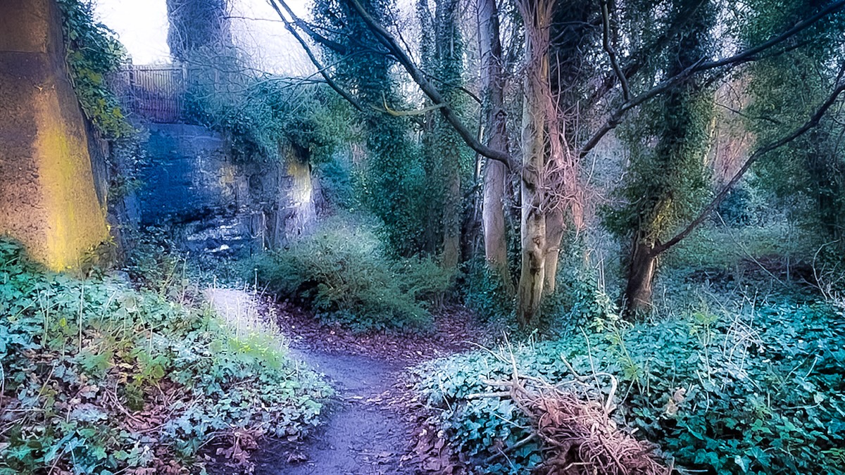
Breck Quarry

Old Wallasey School

